Land Surveys
2D or 3D Surveys
2D or 3D Surveys
2D or 3D Surveys
Whether you require a 2D or 3D scaled topographical survey plan, we can deliver high quality information in a verity of formats at very competitive rates using the latest survey equipment from Leica and Trimble. All our land surveyors are trained to provide a professional service.
Land Surveys
2D or 3D Surveys
2D or 3D Surveys

Topographical surveys are tailored to the requirements of our clients from what detail is required to be located to the final presentation scale. We understand that not all our clients are experts in what information they need for their project, so we take time to discuss the requirements and take them through the process step by step.
GNSS surveys
2D or 3D Surveys
Volumetric surveys

We can undertake GNSS control surveys for establishing high order control networks using traditional static measurements or we can utilise our Trimble R10 Network RTK rover to connect to the Ordnance Survey Network Active Network via Trimble VRS.
Volumetric surveys
Volumetric surveys
Volumetric surveys

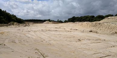
We have a great deal of experience of undertaking volumetric surveys for clients from a single stockpile to major contract on construction sites, landfill sites and quarries.
Levelling
Volumetric surveys
Levelling

We also undertake threshold levelling and monitoring levelling for a variety of clients.
Cookie Policy
This website uses cookies. By continuing to use this site, you accept our use of cookies. Privacy Policy